Turns That Set the Plan
A parking plan is first experienced as a sequence of movements. The entrance, ramp, junction, aisle and stall each ask a driver to make a decision—often while sharing tight space with people walking.
A reading guide for spatial trade-offs; not engineering approval or a substitute for applicable standards.
Begin at the threshold
Before drawing a stall, locate the moment a vehicle leaves the public street and joins the building. The entrance needs to be visible, understandable and compatible with the street’s movement. Its placement influences queues, pedestrian crossings, service access and how much of the façade is devoted to vehicles. A site with a narrow frontage may require a carefully managed entry sequence; a larger site may separate arrival and departure. Neither arrangement is automatically better. The local street, site shape, expected use and operational strategy determine which questions matter most.
Follow one driver from approach to destination. Where is the decision to enter made? Can a driver understand whether a ramp descends immediately or whether a short holding area comes first? What happens if another vehicle is waiting? A plan that looks efficient on paper can feel confusing if turning choices arrive too quickly or if signs are concealed by columns. The best reading method is to trace likely journeys rather than judge a plan by stall count alone.
Give the ramp a role
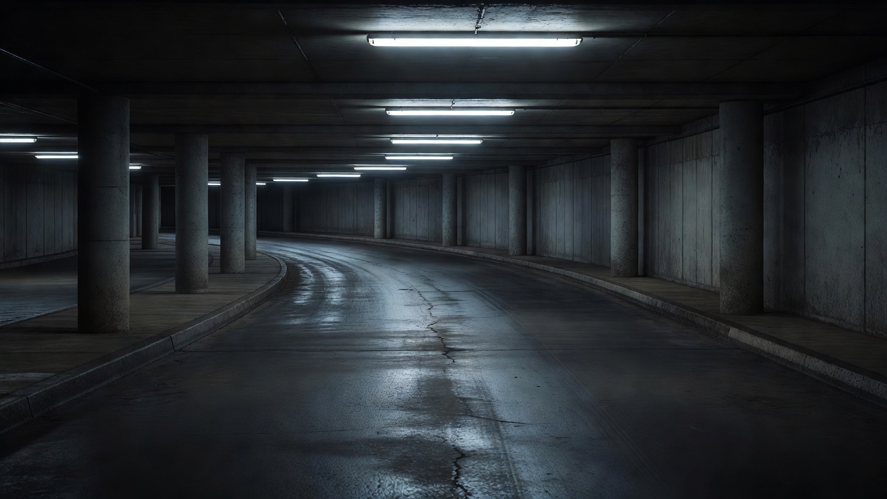
Ramps consume floor area, but they also establish the building’s vertical rhythm. A straight ramp may be easy to read yet use a long run; a curved or helical form can fit a compact footprint but asks for careful consideration of visibility, vehicle swept paths, gradients, transitions and pedestrian separation. Split-level arrangements can reduce the distance between floors, while one-way ramps may simplify opposing movement at the cost of a more particular circulation pattern. These are planning concepts, not dimensions to copy: qualified designers must test geometry against the actual vehicle mix, applicable rules and site conditions.
Think of the ramp as a room with moving occupants. Drivers need to see the route ahead and understand the edge conditions. People on foot should not be forced into a vehicle’s blind zone. Drainage, surface finish, lighting, signs and structural clearances all affect how the ramp performs. A change in gradient can alter sightlines; a beam can interrupt headroom; a drain channel can influence the edge detail. This interdependence is why ramp decisions belong in coordination drawings, not in an isolated sketch.
Read the aisle as a negotiation
The aisle links parking bays, but it is also a shared social space. Drivers reverse, pedestrians cross, doors open and people search for lifts or stairs. Two-way circulation can feel direct and familiar, while one-way circulation may clarify direction and reduce certain conflicts. The choice depends on the plan, sightlines, expected traffic and management. Accessible bays, family spaces, cycle storage, electric-vehicle charging and service areas need to be considered as part of the journey, with a clear route to vertical circulation and the public realm.
Columns are frequent interruptions to the idealised aisle. A structural grid that places a column close to a stall can constrain opening a door; a column at a junction can block a view; a large core can break a natural desire line. Good coordination treats the grid, bay layout and aisle as one system. Designers may test several arrangements using representative vehicle paths and operational scenarios. The plan should account for a driver who misses a turn, meets another vehicle or arrives at a full level—not simply the ideal car following the ideal route.
Make orientation part of circulation
People remember a garage through repeated cues: level names, colour or graphic systems, numbered zones, visible cores and distinctive landmarks. The cues need to remain consistent from the vehicle entrance to the pedestrian exit. A driver who parks beside “Level 2, Garden” should be able to find that level again after returning on foot. Signage does not repair a fundamentally confusing plan, but clear spatial sequences give signs a useful framework.
Accessibility is also a route question. The path from a parking space to a lift, stair, ticket point or street should be understandable and connected. UK projects may consult Approved Document M alongside relevant accessibility guidance, while other contexts use their own regulations. Boston Common Garage, the Tønsberg Parking Garage by Reiulf Ramstad Arkitekter, and the underground facilities around Copenhagen’s public spaces provide different contextual prompts: density, civic use, landscape and circulation are never identical from one city to another.
Compare options before fixing the diagram
Use an early comparison to expose consequences. A compact ramp may save plan area while making the route harder to read. A direct ramp can claim valuable frontage but make arrival obvious. A central core can shorten walking distances but interrupt the parking field. These observations help a team ask better questions; they do not establish that a scheme meets safety or performance requirements. Reference sources such as the Chartered Institution of Highways & Transportation’s parking guidance and the UK’s Manual for Streets can inform the wider street relationship, but project-specific requirements still govern.
For a useful first sketch, mark the site boundary, access points, likely pedestrian approaches, vertical cores and major structural constraints. Draw a continuous route in one line. Then add turning decisions, crossings and stopping points. Only after that, test the stalls. This sequence makes the driver’s experience visible and reveals where the unseen systems—air, light, drainage and structure—will need to negotiate for space.
Can the route be narrated?
Describe each move from the street to the bay, and from the bay back to daylight. Every unexplained turn is a design question worth keeping on the drawing.
Continue to air paths →Route decisions at a glance
| Element | Spatial opportunity | Question to test |
|---|---|---|
| Entrance | Clear arrival and relationship to street | Can a queue be managed without obstructing other users? |
| Ramp | Vertical connection and level sequence | Are visibility, transitions and pedestrian edges resolved? |
| Aisle | Access to stalls and cores | Can drivers and people walking understand and share the space? |
| Core | Orientation and vertical movement | Is the route to lifts and stairs direct and legible? |